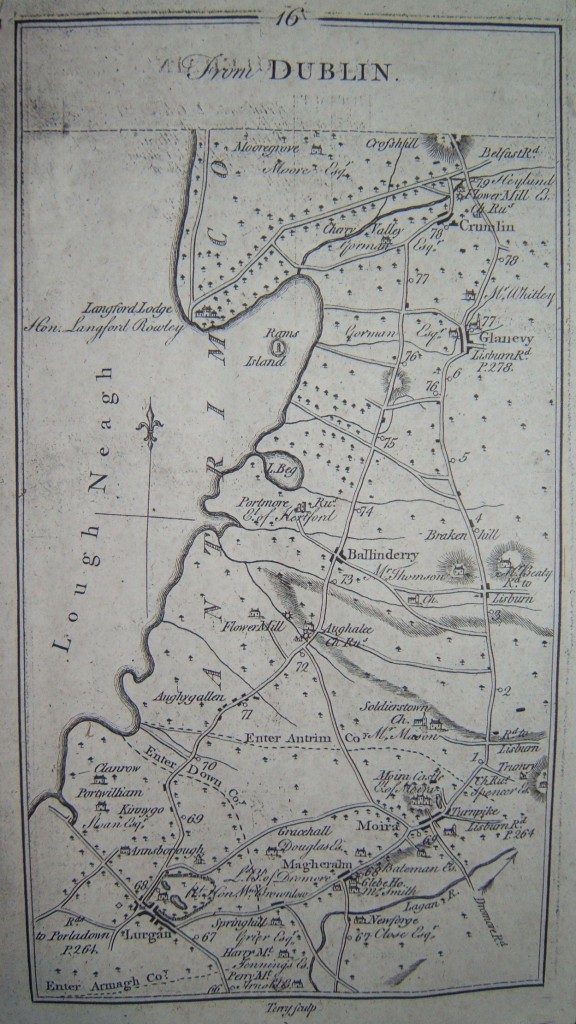
Glenavy Village, 1778
A map taken from Taylor and Skinner Maps of the Roads of Ireland. Surveyed 1777. The map clearly shows the village of “Glanevy”.

Glenavy Map 1778
North of the Glenavy area, 1778
A map extract taken from Taylor and Skinner Maps of the Roads of Ireland. Surveyed 1777. The map covers the area to the north of the Glenavy area.

Glenavy Map 1778
Glenavy Village, 1778
A map taken from Taylor and Skinner Maps of the Roads of Ireland. Surveyed 1777. The map clearly shows the village of “Glanevy”.

Glenavy 1778
Eastern Shore of Lough Neagh, 16th Century
Part of a Map of Ulster showing the general area of the eastern shore of Lough Neagh. This is a “Zincographed” fascimile map of the Province made in 1860. The original map may date from the 16th century.

Glenavy Map 16th Century
